Finding the Best Penha Mountain Walking Maps in Guimarães
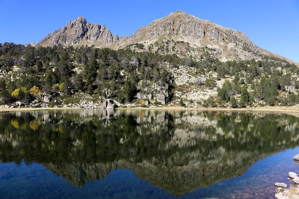
Planning your 2026 trip to Guimarães requires knowing where to find Penha Mountain walking maps for safe hiking. These essential guides help you navigate the lush forests and granite boulders of this famous Portuguese natural park. You will discover hidden grottoes and stunning viewpoints by following the marked paths on your official trail map. Start your adventure today by learning about the best locations to secure your physical or digital hiking documents.
Local Tourist Information Centers
The most reliable place to find paper maps is the main tourist office in the historic city center. Staff members provide free brochures that highlight the most popular Penha Mountain hiking trails for every skill level. You can also visit the information kiosk located near the base of the cable car for immediate assistance. These physical maps include important details about trail length, estimated walking times, and specific points of high interest.
The tourist office in Guimarães is located at the Praça de Santiago in the heart of the city. It is open daily from nine in the morning until six in the evening for all visiting international travelers. You should ask the staff for the specific Penha Park map which features detailed topography and trail markers. This map is essential for navigating the complex network of paths that crisscross the mountain and surrounding forest.
Another great location for physical maps is the reception desk at the Hotel da Penha near the summit. They offer localized maps that focus on the walking routes near the sanctuary and the many picnic areas. These maps are perfect for families who want to explore shorter paths without wandering too far from the facilities. Most hotels in the Guimarães city center also keep a small stock of these maps for their guests.
If you arrive by bus, check the information center at the Guimarães bus terminal for any available hiking guides. They often have copies of the regional walking maps that include Penha Mountain and other nearby natural attractions. Having a physical copy ensures you can find your way even if your phone battery dies during the hike. Always keep your paper map in a waterproof sleeve to protect it from the humid mountain air and rain.
Where to Find Penha Mountain Walking Maps Online
Modern hikers often prefer using digital tools to track their progress while exploring the vast mountain terrain in 2026. Several mobile applications offer detailed GPS coordinates for the various hiking trails in Penha Park during your visit. You should download these maps before starting your ascent to ensure they work without a cellular data connection. Many digital guides provide real-time updates on path conditions and weather alerts for travelers in the Guimarães region.
The official website for the Penha Sanctuary provides a downloadable PDF version of the most recent walking trail map. This digital document is easy to save on your smartphone for quick reference while you are on the trail. It includes high-resolution images of the main landmarks and clear labels for all the different color-coded walking routes. Many visitors find this digital version more convenient than carrying a large paper map during their outdoor mountain adventures.
You can also find community-sourced maps on popular hiking websites that feature reviews from other travelers who visited Guimarães. These sites often include photos of the trail markers and detailed descriptions of the terrain for each specific route. Reading these reviews helps you understand how to hike up Penha Mountain based on the experiences of other people. Always cross-reference community maps with official sources to ensure the information is accurate and up to date for 2026.
Social media groups dedicated to walking in Portugal are another excellent resource for finding the latest digital trail maps. Members often share their recorded GPS tracks which you can follow using your own navigation app on your phone. This is a great way to find lesser-known paths that might not be included on the official tourist maps. Just remember to check the difficulty level of these custom routes before you begin your journey up the mountain.
Using Trail Signage and Information Boards
You do not always need a physical map because the mountain features excellent signage at every major intersection. Look for the color-coded wooden posts that indicate the difficulty and direction of each specific walking route today. Large information boards at the mountain summit offer a complete overview of the entire park and its landmarks. These boards help you visualize the layout of the mountain before you choose which path to follow for your hike.
The trail markers are maintained by the local municipality to ensure that hikers can navigate the park with total confidence. Each color represents a different level of difficulty ranging from easy family walks to more challenging mountain climbing routes. If you follow the signs carefully, you will find that a map is mostly a helpful backup tool. Pay close attention to the arrows which point towards the main sanctuary or the various scenic lookout points nearby.
At the base of the mountain near the cable car station, you will find a massive map on display. This board provides a detailed legend that explains what each symbol and color means for the various walking paths. Take a photo of this board with your phone to use as a quick reference guide while you walk. This simple step ensures you have the most current information available even if you do not have a physical map.
Frequently Asked Questions
⭐ Recommendation: Don't miss out on amazing Lisbon tours - book now!
Can I get a Penha Mountain map for free in Guimarães?
Yes, you can get a free map at the main tourist office in the historic center of Guimarães. They provide brochures that include all the major walking trails and landmarks for visitors to use during their trip.
Are the hiking trails on Penha Mountain well-marked?
The trails are very well-marked with color-coded signs and wooden posts at every significant junction on the mountain. These markers make it easy to follow your chosen route even if you do not have a physical map.
Is there a mobile app for Penha Mountain walking maps?
While there is no dedicated app, you can use popular hiking apps like AllTrails or Wikiloc to find routes. These apps offer GPS tracking and user reviews for all the scenic walks in Guimarães and Penha Park.
Finding your way around the mountain is easy when you know where to find Penha Mountain walking maps. Use these resources to enjoy the beautiful scenery and historical sites located within this stunning natural park in 2026. Plan your visit to discover the many incredible landscapes that make this Portuguese destination so very special for hikers. Grab your map today and start exploring the lush forests and granite peaks of this magnificent mountain in Portugal.