A Local Guide on How to Reach the Highest Point in Silves
Silves is a historic city located in the beautiful Algarve region. It is famous for its red sandstone castle and orange trees. Many visitors want to know how to reach the highest point in Silves. This guide provides the best route for your adventure in 2026.
Starting Your Ascent from the River
The journey to the summit begins at the historic Roman Bridge. This bridge crosses the Arade River at the edge of town. You can find free parking in the large lot nearby. The path starts with a gentle walk along the river bank.
Look for the red and yellow markers on the ancient stone walls. These signs show you the way through the narrow city streets. You will pass small cafes and traditional white houses along the way. The air often smells like fresh oranges in this part of town.
As you leave the river, the path starts to incline slightly. You will walk toward the northern edge of the urban area. This is where the Silves hilltop panoramic walking routes officially begin. Keep a steady pace as the ground becomes more uneven.
Make sure to look back as you climb higher each minute. You will see the red castle towers rising above the rooftops. The view of the valley improves with every step you take. This initial climb takes about fifteen minutes for most hikers.
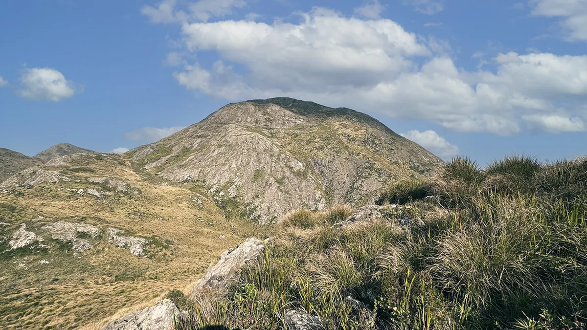
Guide to Silves Hilltop Panoramic Walking Routes
Once you leave the town streets, the trail turns into dirt. You will follow the ridge that sits high above the city. This path is one of the best scenic walks in Silves 2026 has to offer. The trail is wide but can be quite dusty.
The route leads you toward a landmark called the Cruz de Portugal. This is a beautiful stone cross from the sixteenth century. It marks an important junction for hikers heading to the hills. Take a moment here to check your water and map.
From the cross, follow the signs pointing toward the northern ridge. The incline becomes steeper as you approach the highest local peak. You will walk through areas filled with wild herbs and cork trees. The natural beauty of the Algarve countryside is on full display.
The highest point is located on the ridge overlooking the entire valley. You will know you arrived when the path levels out completely. This area offers a clear view of the distant Monchique mountains. It is a peaceful spot away from the city noise.
Practical Tips for Your 2026 Hike
Planning your trip is essential for a safe and fun hike. The best time to start is early in the morning. Temperatures in the Algarve can reach thirty degrees Celsius by noon. Morning light also provides the best photos of the castle.
There are no entrance fees for these public walking trails in 2026. You should wear sturdy shoes with good grip for the gravel. A hat and sunscreen are necessary even on cloudy days. The sun is very strong in southern Portugal all year.
Consider following the specific walking route to the Silves cross viewpoint for extra guidance. This path is well-maintained and easy for most fitness levels. Bring at least one liter of water per person for the journey. There are no shops once you leave the town center.
The total walk to the highest point takes about one hour. This depends on how many times you stop for photos. Most people spend another thirty minutes enjoying the views at the top. Allow two hours for the full round trip back to the river.
What to Expect at the Highest Point
🌟 Local Expert Tip: Get the most out of your Lisbon visit with guided tours!
The summit provides a stunning reward for your physical effort today. You can see the entire city of Silves spread out below. The red castle looks like a toy model from this height. It is the perfect place to see the city layout.
On clear days, you can even see the Atlantic Ocean far away. The green valleys contrast beautifully with the blue sky and red earth. You will find several flat rocks that serve as natural benches. This is a great spot for a light snack.
Photographers will love the angle of the sun in the late afternoon. The golden hour makes the red sandstone of the city glow brightly. You can capture the best panoramic views of the Algarve from Silves right here. Remember to keep your camera battery fully charged.
The descent back to town follows the same path you climbed. Be careful on the downhill sections as the gravel can be slippery. You will find many great restaurants near the river for lunch. A cold drink is the perfect way to celebrate your hike.
Frequently Asked Questions
Is the walk to the highest point in Silves difficult?
The walk is considered moderate in difficulty. It involves a steady incline on dirt paths and some loose gravel. Most people with average fitness can complete the hike in one hour. Wear good shoes to help with the steep sections near the top.
Are there any fees to access the Silves hilltop trails?
No, the walking trails to the highest point are free to access. You do not need a ticket to hike the ridge or visit the viewpoints. However, there is a small fee if you choose to enter the Silves Castle later.
What is the best time of year to hike in Silves?
Spring and autumn are the best seasons for hiking in Silves. The weather is mild and the wildflowers are in full bloom. Summer can be too hot for climbing hills during the middle of the day. Winter is also pleasant but can be windy.
Learning how to reach the highest point in Silves opens up amazing views. The hike is a highlight for any visitor to the Algarve in 2026. Put on your hiking shoes and explore the ridge today. You will not regret seeing the city from this spectacular height.