Finding Trail Markers for Milfontes to Almograve Walk
Spotting trail markers for Milfontes to Almograve walk is essential for a safe journey. This 15-kilometer stretch offers stunning views of the Atlantic coast in Portugal. You must follow the specific colored stripes to stay on the correct path. Our 2026 guide helps you navigate the Rota Vicentina with total confidence.
Identifying the Fishermen's Trail Colors
The primary colors for this coastal route are green and blue. These parallel stripes appear on rocks, walls, and wooden stakes. They indicate you are on the official Fishermen's Trail path. Always look for these colors when you reach a fork in the road.
Sometimes you might see red and yellow markers near the start. These colors represent the Historical Way, which is a different hiking route. Stay focused on the green and blue stripes to keep near the ocean. This ensures you enjoy the best scenery during your hike.
Markers often appear every few hundred meters along the sandy tracks. If you walk for ten minutes without seeing one, turn back. You likely missed a small turn near the cliff edge. Checking frequently prevents you from getting lost in the dunes.
You may also encounter a marker shaped like a large 'X'. This symbol means you are heading in the wrong direction. It prevents hikers from entering private land or dangerous areas. Always turn around immediately if you see this cross symbol.
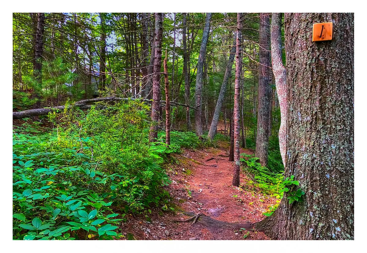
Where to See Trail Markers for Milfontes to Almograve Walk
Look for painted stripes on large coastal rocks along the cliffs. These natural signs are very durable against the salty sea air. They provide clear direction even when the sandy path becomes faint. Most markers are placed at eye level for easy spotting.
You will also find wooden posts driven into the soft sand. These stakes are painted with the signature green and blue colors. They are vital in areas where the vegetation covers the ground. Follow these posts to stay on the established trail.
Markers often appear on the corners of old farm buildings. These structures serve as helpful landmarks for hikers in rural areas. Always verify the direction before passing any man-made structure. This keeps you on the right track toward Almograve.
The walk begins near the bridge in Vila Nova De Milfontes. Look for the first set of markers on the concrete pillars. These initial signs guide you toward the coastal path from town. Starting correctly makes the rest of the journey much easier.
Navigating Difficult Sections with Markers
Some sections of the trail feature deep sand and heavy wind. These conditions can make the ground path hard to see clearly. Rely on the frequent markers to guide your steps through the dunes. Knowing is the Milfontes to Almograve hike difficult helps you prepare for these sandy challenges.
The trail often hugs the very edge of the steep cliffs. Markers are strategically placed to keep you at a safe distance. Never wander far from the green and blue signs near the drop-offs. Safety should always be your top priority while enjoying the views.
In 2026, the local authorities have updated many of the older signs. You will find fresh paint on most of the major route markers. This makes the path much easier to follow than in previous years. Always stay alert for these bright new indicators.
The markers are especially helpful when crossing small coastal streams. They show the safest points to step across the water or mud. Look for the stripes on rocks near the water's edge. Following these signs keeps your feet dry and your pace steady.
Essential Tips for Path Finding in 2026
⭐ Recommendation: Don't miss out on amazing Lisbon tours - book now!
Start your hike early to ensure you have plenty of daylight. Seeing the painted stripes is much harder once the sun begins setting. Shadows can hide markers located on the dark coastal rocks. Planning your timing is a key part of trail safety.
Carry a digital map as a backup to the physical markers. While the signs are reliable, a GPS can provide extra peace of mind. You can find more details in our Fishermens Trail Milfontes guide for your trip. Technology works well alongside the traditional painted trail signs.
Watch for weather conditions that might obscure the markers today. Heavy fog can sometimes roll in from the Atlantic Ocean. If visibility drops, slow down and search for the next wooden post. Staying calm helps you find the way in low visibility.
Frequently Asked Questions
What colors should I follow for the Milfontes to Almograve walk?
You should follow the green and blue parallel stripes. These colors mark the Fishermen's Trail along the coast. Red and yellow markers indicate the Historical Way inland. Stay near the cliffs by following the green and blue signs.
How often will I see trail markers on this route?
Markers usually appear every 100 to 300 meters along the path. They are more frequent at junctions or confusing turns. Understanding how long to hike Milfontes to Almograve helps you pace your navigation correctly throughout the day.
What does a red and white 'X' mean on the trail?
A marker shaped like an 'X' means you are going the wrong way. It is often used to mark closed paths or dangerous areas. If you see this sign, turn back and find the stripes. Never ignore an 'X' marker on the Rota Vicentina.
Following the markers for this walk ensures a memorable coastal experience. The green and blue stripes are your best friends on the trail. Explore more scenic walks in Vila Nova De Milfontes 2026 to extend your adventure. Enjoy the beautiful Portuguese coastline safely by staying on the marked path.