Guide: How Difficult Are Mt Pilatus Walking Paths in 2026?
Planning a trip to Lucerne usually involves exploring the stunning peaks of the Swiss Alps. Many hikers often wonder how difficult are Mt Pilatus walking paths before they begin their journey. This comprehensive guide explains trail levels for every type of visitor traveling in 2026. You will find the perfect path for your fitness level and mountain experience today.
Understanding Trail Grades on Mt Pilatus
For current hours, prices, and announcements, start with Lucerne travel info.
For the most up-to-date details, check Lucerne travel info before you go.
Mt Pilatus offers many different trails for all skill levels and physical abilities. Swiss hiking trails use a specific color-coding system to ensure hiker safety at all times. Yellow signs mark easy paths that are perfect for casual walkers and families. White-red-white signs indicate mountain trails which require significantly more physical effort and focus.Trail difficulty depends mostly on elevation gain and the specific type of terrain encountered. Some paths feature smooth gravel or paved surfaces which are very easy to navigate. Other routes include steep climbs and rocky sections that require a steady and confident foot. Always check the current weather before starting your hike near the city of Lucerne.
Most visitors start their journey at the busy Pilatus Kulm mountain station during the summer. This area serves as the main hub for several popular Mt Pilatus walking paths. You can choose a short stroll or a long trek depending on your schedule. Map signs provide estimated walking times for each route from the station exit.
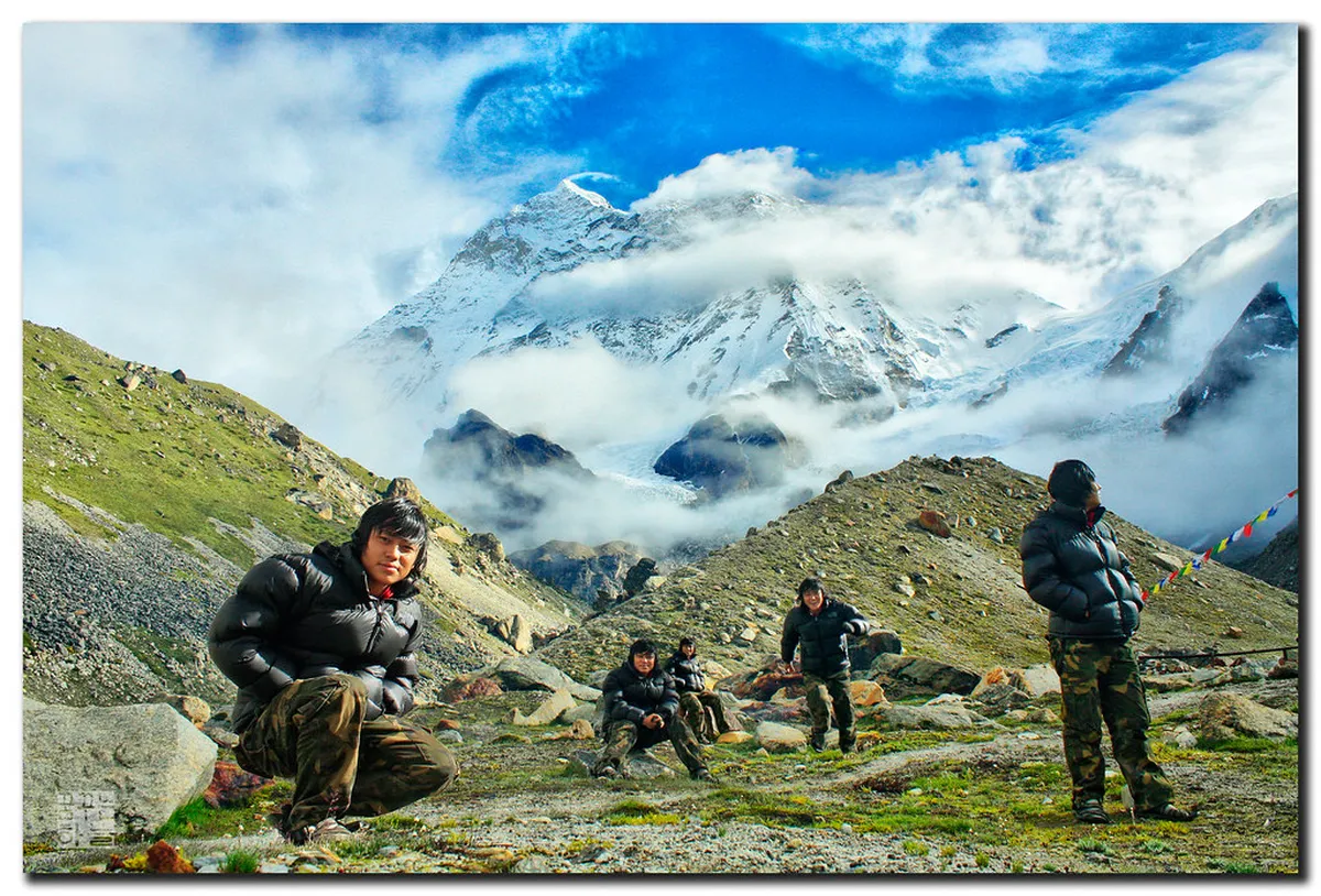
Easy Walking Paths for Beginners and Families
The Dragon Path walk is perfect for families and beginners visiting the mountain summit. This short loop takes about ten to fifteen minutes for most people to complete. It features mostly flat terrain with stunning views of the surrounding Swiss peaks. You will learn about fascinating local legends while walking through the hollowed rock tunnels.
Another easy option is the beautiful Flower Trail located near the main summit area. This path showcases amazing alpine flora during the warm summer months of 2026. It is well-maintained and suitable for most fitness levels including young children and seniors. Benches are available along the route for resting and taking wonderful mountain photos.
These easy routes require standard walking shoes with a good grip for safety. They are ideal for those who want spectacular views without any heavy physical exertion. Most of these paths are open from May until late October each year. Check local conditions at the Lucerne tourist office before you head up the mountain.
Moderate Hiking Trails for Active Visitors
Consider walking from Mt Pilatus Kulm to Tomlishorn for a moderate challenge. This trail follows a dramatic ridge with steep drops on both sides of the path. It takes approximately thirty to forty minutes to reach the end of the trail. The path is very secure but requires a steady foot and good balance.
The hike to Tomlishorn offers the highest and most impressive viewpoint on the entire mountain. You will reach an elevation of about 2,128 meters above sea level at the peak. The trail consists of firm gravel and some paved sections for easier walking. It provides panoramic views of the Swiss Alps and the blue lakes below.
Moderate trails often involve some stairs and narrow sections which can feel slightly exposed. These paths are generally safe for active adults and older children with hiking experience. Wear sturdy hiking boots to protect your ankles on the uneven and rocky ground. Bring plenty of water and a light jacket to protect against the mountain wind.
Challenging Routes for Experienced Hikers
🎯 Insider Tip: Discover the best Lucerne experiences with Viator Tours!
Experienced hikers can attempt the steep and rewarding climb starting from the village of Alpnachstad. This route follows the world's steepest cogwheel railway line up the mountain side. It involves a massive elevation gain over several kilometers of challenging alpine terrain. Expect to spend four to five hours on this demanding trek to the summit.
The path from Krienseregg to the mountain summit is also quite demanding for many hikers. It winds through thick green forests and open alpine meadows with grazing Swiss cows. Some sections are very steep and require a high level of physical fitness. This trail is best suited for seasoned mountain hikers with proper equipment and stamina.
These difficult paths are often very rocky and can be quite slippery after rain. They require proper mountain gear and significant experience in high altitude hiking environments. Only attempt these difficult routes during clear and stable weather conditions for your safety. Always tell someone your planned route before you depart for the day.
Essential Safety Tips for Mt Pilatus Paths
Mountain weather in Switzerland can change very quickly even during the summer months. A sunny morning can turn into a cold and stormy afternoon without much warning. Always check the local forecast before heading to the top of Mt Pilatus. Carry a waterproof jacket even if the sky looks perfectly clear in the morning.
Proper footwear is the most important piece of equipment for any mountain hiking adventure. Sandals or flip-flops are not safe for most mountain trails on Mt Pilatus. Choose boots with deep treads to prevent slipping on loose gravel or wet rocks. Good quality socks will also help prevent painful blisters during your long mountain walks.
Stay on the marked trails to protect the fragile alpine environment and your safety. Swiss paths are well-signed to keep hikers safe from hidden hazards and steep drops. Leaving the trail can lead to dangerous situations on very steep mountain slopes. Respect the local wildlife and keep the mountains clean by taking your trash home.
After your mountain adventure, enjoy some scenic walks in Lucerne at the lake level. The city offers many flat paths along the beautiful shoreline for a relaxing afternoon. These are great for cooling down after a steep and challenging mountain hike. You can find many lakeside cafes for a well-deserved drink and snack.
Frequently Asked Questions
Are the Mt Pilatus walking paths open during the winter?
Most high-altitude trails close during winter due to heavy snow and ice. Some lower paths near Kriens remain open for winter walking with proper gear. Always check the official Pilatus website for current trail status before visiting Lucerne in 2026.
Do I need special equipment for the easy walking trails?
No special equipment is needed for the Dragon Path or the Flower Trail. Comfortable sneakers with good grip are usually enough for these well-maintained routes. However, hiking boots are always a safer choice for any mountain terrain in Switzerland.
Is there a fee to use the Mt Pilatus walking paths?
The walking trails themselves are free for everyone to use throughout the year. However, you must pay for the cable car or cogwheel train to reach them. These transport options take you from the valley to the mountain stations.
Are the summit trails safe for young children to walk?
The Dragon Path and Flower Trail are very safe for young children and families. More advanced trails have steep drops and require very close supervision at all times. Always read the trail signs carefully before starting any hike with your kids.
Mt Pilatus offers a wide variety of trails for every type of visitor in 2026. Whether you want a short stroll or a long trek, you will find it here. Plan your trip today to experience these amazing views and fresh mountain air. Proper preparation will ensure you have a wonderful and safe time in Lucerne.